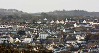
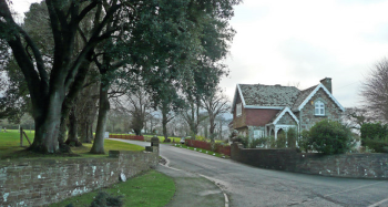
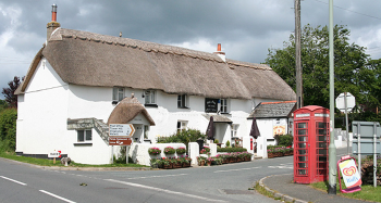
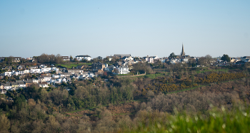
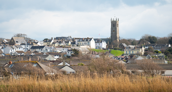
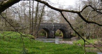
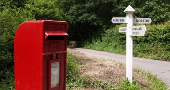
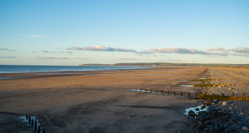
Ward profiles
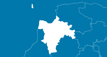
Torridge is divided into 16 wards, comprising 64 parishes.


Data at ward level is only available from central government on a periodic basis. When major updates are made available, we produce ward profiles to provide a summary of the key data for each of our 16 wards.
The data for these ward profiles are linked to the Office for National Statistics Area Profile service and are automatically updated when the ONS update the area profiles.
If you would like to build a custom area profile which you can print, you can do this on the Office for National Statistics website (opens in new tab).
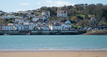
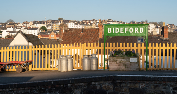
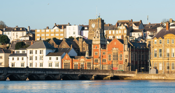
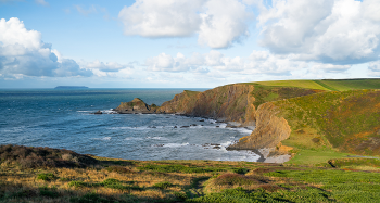
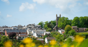
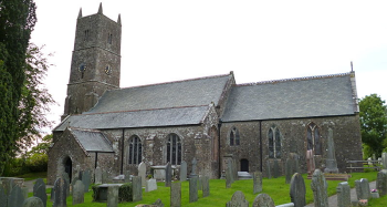
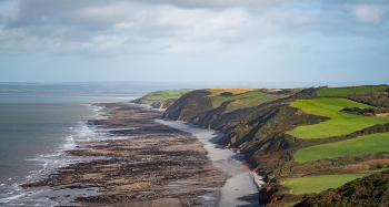
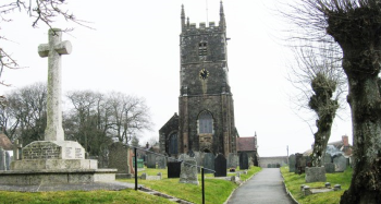
Photos below credited to TDC, except for the following which are licenced for reuse under cc-by-sa/2.0: Bideford South (Lewis Clarke), Bideford West (Jonathan Billinger), Broadheath (Martin Bodman), Milton & Tamarside (Dave Kelly), Shebbear & Langtree (Roger A Smith), Two Rivers and Three Moors (Derek Harper), Winkleigh (Alex McGregor)